Etna: 'Time Machine' Reconstructs 160 Years of Summit Craters
A study by INGV and University of Milano-Bicocca merges 1865 maps, aerial photos, satellite data and drones to reconstruct Etna's morphological evolution from 1865 to 2024.
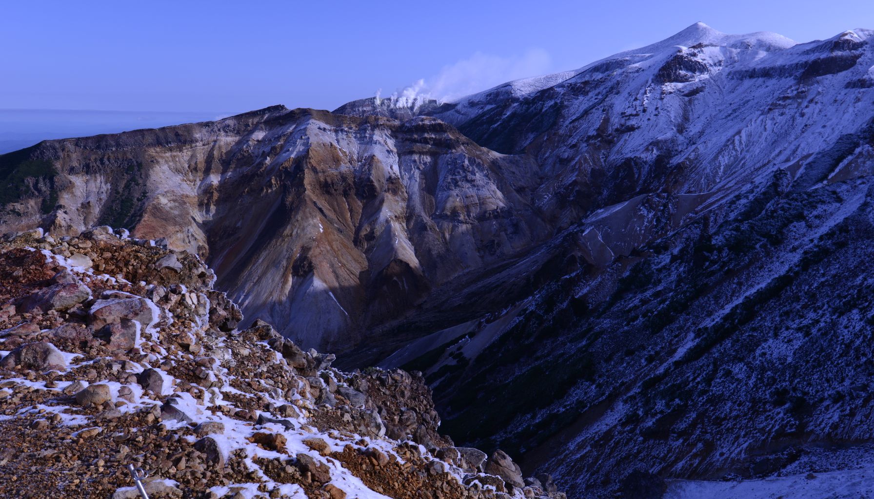
A study led by the National Institute of Geophysics and Volcanology (INGV) and the University of Milano-Bicocca (GeoVires Lab) reconstructed the morpho-structural evolution of the Etna's summit area between 1865 and 2024, covering 160 years of transformations. According to ANSA, the work integrated historical maps, aerial photographs, satellite imagery, and drone surveys to produce a digital "time machine" of the volcano crater.
Study summary: Etna and summit craters
Researchers from INGV and the GeoVires laboratory of the University of Milano-Bicocca conducted the study to quantitatively reconstruct the morphologic evolution of the Etna summit area over 160 years. The focus was on mapping changes in shape and volume of the main craterary structures, allowing comparison of the 1865 configuration with the contemporary period (through 2024). The work provides a detailed timeline of transformations that led from the presence of a single large central crater to the current configuration with multiple active summit craters.
Methodology: integration of datasets, photogrammetry, and remote sensing
The team integrated 14 datasets with varying techniques and resolutions, combining historical and modern sources. Among the sources used are:
- the 1865 topographic map from the Istituto Geografico Militare,
- historical aerial photographs series,
- high-resolution satellite images,
- current surveys conducted with drones and photogrammetry techniques.
The integration was achieved through georeferencing procedures and digital terrain modeling to align old maps with modern digital models. According to ANSA, this approach allowed quantifying morphological changes (such as the emergence and collapse of structures) and estimating volumes and elevations across different periods. The combined use of photogrammetry and aerial/drone imagery was crucial to detailing features that do not appear on historical maps.

Key findings: from a central crater to multiple active craters
Results show a clear trajectory of transformation of Etna’s summit:
- In 1865, the area was dominated by a single large central crater, as recorded on the topographic map and in early aerial photographs.
- Over the decades, eruptive and structural processes fragmented this feature, with successive formation of new eruptive points and surface changes.
- The current configuration, documented up to 2024, is characterized by the presence of four active summit craters, including well-known structures such as the Voragine and the Bocca Nuova, in addition to other vents that developed from recent activity and internal reconfigurations.
The study quantified, albeit conservatively, volumetric changes and the migration of eruptive alignments, contributing to a robust historical view of the volcano’s superficial evolution.
Relevance for Brazilians and descendants of Italians
The work has several practical and cultural implications for Brazilian audiences interested in Italy:
- it showcases the advances in Italian volcanology and the use of photogrammetry and remote sensing techniques in natural hazard studies;
- it provides useful information for those interested in scientific tourism and visits to volcanic areas, since understanding morphological evolution helps in terrain interpretation and risk comprehension;
- it contributes to the appreciation of the Italian natural heritage, a relevant topic for Brazilians with family or emotional ties to Italy.
For readers following citizenship and life in the country, the research serves as an example of applied science that interfaces with tourism, safety, and conservation — contexts often discussed in sections like Life in Italy and in Italy News of Raízes Italianas. Those seeking information about procedures and travel between Brazil and Italy can also consult Italian Citizenship for administrative guidance, though the study is scientific rather than administrative in nature.
Limitations and next steps
The authors highlight limitations inherent to integrating historical data with heterogeneous resolutions: old maps are less precise than modern digital models, and interpreting historical photographs requires caution. Still, the combination of 14 datasets and modern photogrammetry and geospatial processing techniques helped overcome part of these challenges. Future studies may extend the time series with additional data and apply numerical models to simulate eruptive dynamics and related risks.
In sum, the time machine built by Italian researchers offers a quantitative, multidimensional portrait of Etna’s evolution over the last 16 decades, merging cartographic history and contemporary technology to better understand one of Europe’s most active volcanoes.
Source: ANSA